| |
Bookmark Site
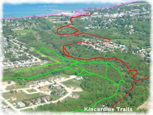
Trail Maps:
Available at the Welcome Centre (#1802 Hwy 21)
Geocaching the
Kincardine Trails
Geocaching Info
Kincardine Wx
& Webcams
Bruce Trail
|
|
|
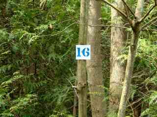
Numbers
in small boxes on the maps represent the location
of signs on trees or posts
i.e. B16 = Blue Trail, location #16
Download or View Trail Maps
from our website
here in .pdf format
or
Trail Story Maps
here
Download Trails
Brochure
Trail maps are available at the Visitor Information Centre,
#1802 Hwy 21
or
Maps are available on
Google
for use on your smart phone or computer |
|